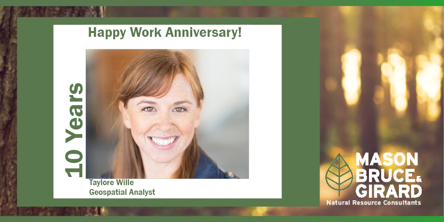
| Taylore is a geospatial specialist with a background in geography and application of GIS and remote sensing technology. Her professional experience includes cartography and a variety of spatial analysis methods for local, state, and federal government agencies. She is especially skilled in cartography including maps for publication and webmaps, spatial analysis involving raster and vector data, spatial data creation, and QA/QC of complex data sets. Her work also includes supporting data gathering, data modeling, and metadata development. Prior to joining MB&G, Taylore worked for the Oregon Department of Geology and Mineral Industries as a GIS Technician. Taylore is an invaluable part of our MB&G team and we appreciate all she does. |
Read the latest Forest Sector Outlook here. As part of our partnership with the Global Consulting Alliance, MB&G helps create the Forest Sector Outlook with five other firms from around the world. This quarterly newsletter gives an economic update on the forest sector worldwide. The Forest Sector Outlook covers regional reviews for Asia-Pacific, Europe, North […]
READ MOREMB&G just wrapped up an amazing time at the California Council of Land Trusts annual conference at the Tenaya Lodge in Yosemite. Christopher Shull, who heads MB&G’s business development, was able to connect with conservation leaders, exchange ideas on land stewardship and explore innovative solutions for protecting California’s landscapes. From insightful discussions on policy and […]
READ MOREMB&G Senior Forester Brent Keller has been assembling the News For Family Forests Newsletter every month since 2017. The newsletter includes a market watch for housing, lumber and logs as well as industry news relevant to forestland owners. Read the January newsletter here. Read the February newsletter here. Email [email protected] to subscribe.
READ MORE