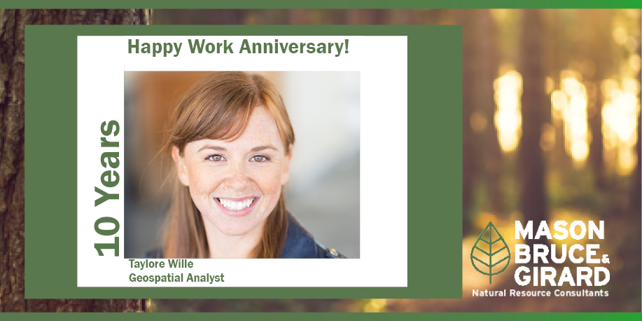
| Taylore is a geospatial specialist with a background in geography and application of GIS and remote sensing technology. Her professional experience includes cartography and a variety of spatial analysis methods for local, state, and federal government agencies. She is especially skilled in cartography including maps for publication and webmaps, spatial analysis involving raster and vector data, spatial data creation, and QA/QC of complex data sets. Her work also includes supporting data gathering, data modeling, and metadata development. Prior to joining MB&G, Taylore worked for the Oregon Department of Geology and Mineral Industries as a GIS Technician. Taylore is an invaluable part of our MB&G team and we appreciate all she does. |
MB&G is proud to support the 2026 John Aho Golf Tournament by donating a pair of MB&G-branded pickleball paddles and balls for the tournament’s silent auction. Hosted by the Northwest Oregon Subsection of the Pacific-Northwest Section AWWA (PNWS-AWWA), the annual tournament raises funds for the John Aho Memorial Scholarship Fund and Water For People, helping support future water professionals while expanding access to safe water and sanitation in communities around the world.
READ MOREWhether you’re an investor, natural resource professional, conservation practitioner, landowner, researcher, or student, this course will provide practical insights into the financial, economic, and market forces shaping the future of natural resources.
READ MOREOne of our foresters was out working by the South Umpqua River near Days Creek last week and spotted an Osprey nest. After observing the nest for awhile a baby osprey popped out to get some sun and they were able to capture this photo.
READ MORE

